
File:מגדל דוד בשלג 1992.jpg
Size of this preview: 800 × 534 pixels. Other resolutions: 320 × 214 pixels | 640 × 427 pixels | 1,024 × 683 pixels | 1,280 × 854 pixels | 2,952 × 1,970 pixels.
Original file (2,952 × 1,970 pixels, file size: 1.06 MB, MIME type: image/jpeg)
| This file is from Wikimedia Commons and may be used by other projects. The description on its file description page there is shown below. |
Summary
| Description |
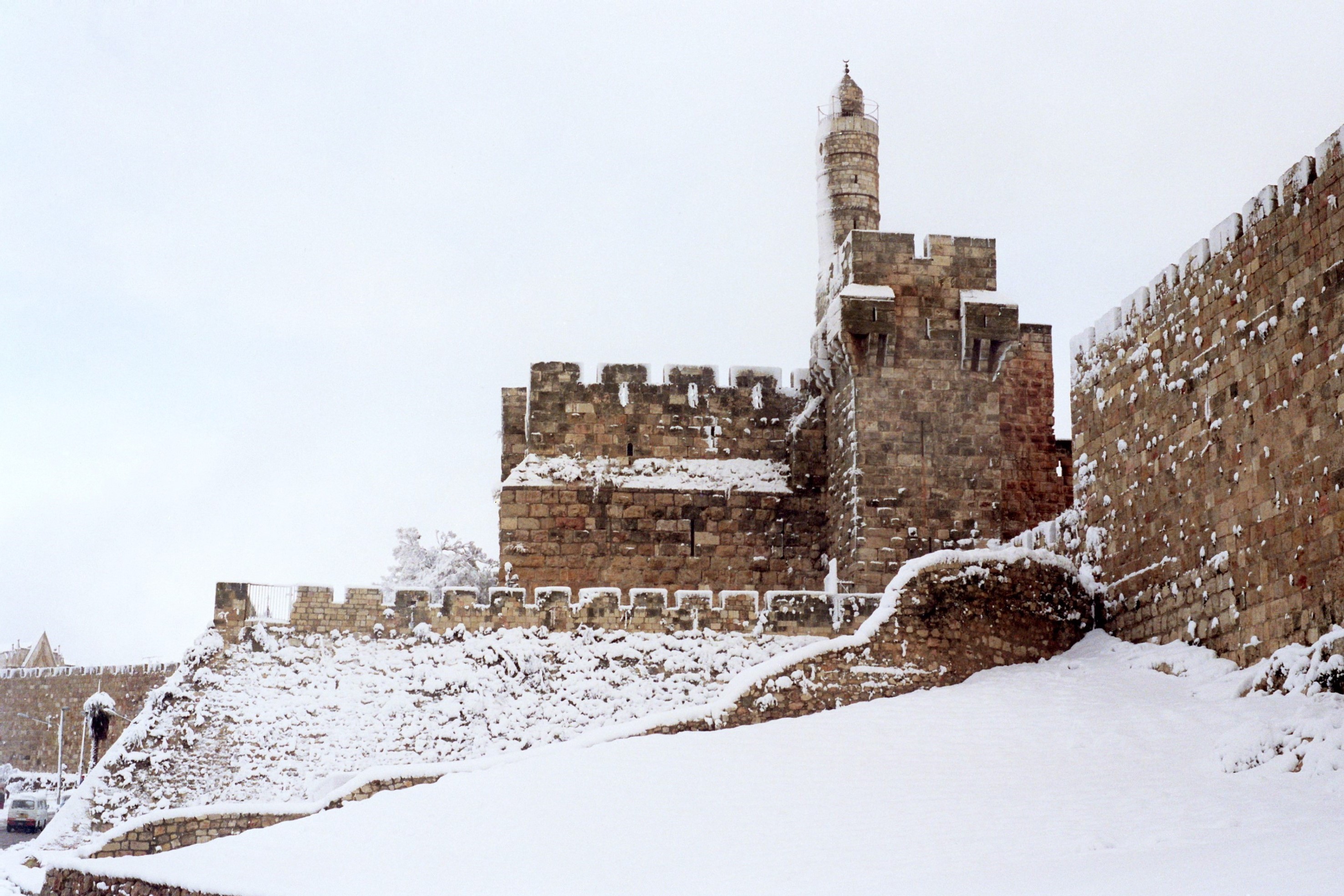
English: David's citadel in the snow of 1992
|
||
| Date | |||
| Source | Own work | ||
| Author | Zev Rothkoff |
| Camera location | | View this and other nearby images on: OpenStreetMap |
|---|
Licensing
I, the copyright holder of this work, hereby publish it under the following license:
This file is licensed under the Creative Commons Attribution-Share Alike 3.0 Unported license.
- You are free:
- to share – to copy, distribute and transmit the work
- to remix – to adapt the work
- Under the following conditions:
- attribution – You must give appropriate credit, provide a link to the license, and indicate if changes were made. You may do so in any reasonable manner, but not in any way that suggests the licensor endorses you or your use.
- share alike – If you remix, transform, or build upon the material, you must distribute your contributions under the same or compatible license as the original.

|
This image was nominated as a finalist in Wiki Loves Monuments 2012, the world's largest photo contest! |

|
This image was uploaded as part of Wiki Loves Monuments 2012.
|
 |
This image has been assessed using the Quality image guidelines and is considered a Quality image.
|
File history
Click on a date/time to view the file as it appeared at that time.
| Date/Time | Thumbnail | Dimensions | User | Comment | |
|---|---|---|---|---|---|
| current | 14:10, 22 January 2020 | | 2,952 × 1,970 (1.06 MB) | Andrew J.Kurbiko | v3 |
| 14:08, 22 January 2020 |  | 2,952 × 1,970 (1.06 MB) | Andrew J.Kurbiko | spots removed | |
| 19:43, 9 October 2012 |  | 2,996 × 2,000 (1.38 MB) | Zev Rothkoff | User created page with UploadWizard |
File usage
There are no pages that use this file.
Global file usage
The following other wikis use this file:
- Usage on ar.wikipedia.org
- Usage on de.wikivoyage.org
- Usage on he.wikipedia.org
- מגדל דוד
- ויקיפדיה:מיזמי ויקיפדיה/ויקיפדיה אוהבת אתרי מורשת/מבוא/ללא לשוניות/תחרות 2012
- ויקיפדיה:מיזמי ויקיפדיה/ויקיפדיה אוהבת אתרי מורשת/ארכיון/תחרות 2012
- ויקיפדיה:תמונה מומלצת/הוספה למומלצים/ארכיון 46
- פורטל:אתרי מורשת בישראל
- פורטל:אתרי מורשת בישראל/תמונה נבחרת/גלריה
- פורטל:אתרי מורשת בישראל/תמונה נבחרת/50
- פורטל:אתרי מורשת בישראל/תחרות ויקיפדיה אוהבת אתרי מורשת
- פורטל:אתרי מורשת בישראל/תחרות ויקיפדיה אוהבת אתרי מורשת 2012/1
- ויקיפדיה:מיזמי ויקיפדיה/ויקיפדיה אוהבת אתרי מורשת/זוכי התחרות בישראל 2012
- ויקיפדיה:מזנון/ארכיון 303
- חורף 1991–1992 בישראל
- ויקיפדיה:תמונה מומלצת/המלצות קודמות/פברואר 2014
- תבנית:תמונה מומלצת 2 בפברואר 2014
- ויקיפדיה:תמונה מומלצת/הוספה למומלצים/ארכיון 59
- ויקיפדיה:עמותת ויקימדיה ישראל/תמונה נבחרת/גלריה
- ויקיפדיה:ויקימדיה ישראל/תמונה נבחרת/17
- ויקיפדיה:תמונה מומלצת/המלצות קודמות/פברואר 2015
- תבנית:תמונה מומלצת 8 בפברואר 2015
- ויקיפדיה:מיזמי ויקיפדיה/ויקיפדיה אוהבת אתרי מורשת/ארכיון/תחרות 2017
- ויקיפדיה:מיזמי ויקיפדיה/ויקיפדיה אוהבת אתרי מורשת/זוכי התחרות בישראל/תחרות 2017
- ויקיפדיה:מיזמי ויקיפדיה/ויקיפדיה אוהבת אתרי מורשת/תחרות צילומים/ארכיון/תחרות 2020
- ויקיפדיה:מיזמי ויקיפדיה/ויקיפדיה אוהבת אתרי מורשת/זוכי התחרות בישראל 2020
- ויקיפדיה:מיזמי ויקיפדיה/ויקיפדיה אוהבת אתרי מורשת/זוכי התחרות בישראל 2021
- ויקיפדיה:מיזמי ויקיפדיה/ויקיפדיה אוהבת אתרי מורשת/תחרות צילומים/הסבר כללי
- שלג בישראל
- Usage on he.wikivoyage.org
- Usage on www.wikidata.org